
Engineering Your Subdivision: Subdivisions from an Engineering Perspective

We all know urban settlements didn’t drop from the sky; several processes were put in place for urban development to be achieved. Oftentimes this development is a conversion from rural lands to urban landscapes. Subdivision of lands is the first process in urban development. It typically involves the division of a large land piece into plots for either development or sales. The reason for this is to achieve efficient usage of lands in accordance with local laws and regulations.
Subdivision planning has been seen to be deployed in the creation of towns in both developed and developing countries. Taking Irvine, Orange County in southern California, United States, as a case study, in the 1960s, development began, and as a result of the impact of subdivision planning, Irvine was designed from the ground up as a well-planned community. This planning ensured organized growth, efficient land use, and incorporation of commercial and recreational spaces. Irvine ever since has become one of the most prominent examples of subdivision planning facilitating urbanization.
It is worthy of note that subdivision ordinances differ greatly from county to county. Based on this, land development engineers, urban planners, and real estate developers would benefit from this article to ensure a good grasp of project planning and design, compliance and approval matters, how to manage their costs, and risk mitigation, to speak of a few.
Understanding Subdivision Planning
Subdivision planning, in plain terms, is the process of dividing a piece of land into smaller fractions called lots for the purpose of building structures, which could be houses, retail centers, etc. After the successful division of the land, a parcel map is created. The primary goals of subdivision planning are centered around creating well-organized and functional, sustainable communities.
Types of Subdivisions
1. Residential Subdivision
2. Commercial Subdivision
3. Industrial Subdivision
4. Agricultural Subdivisions
5. Planned Unit Developments (PUDs)
6. Luxury Subdivisions
7. Conservation Subdivisions
8. Retirement Communities
9. Transit-Oriented Developments (TODs)
10. Affordable housing developments
Each type of subdivision is designed to meet specific needs and tailored towards a particular purpose, amenities, and services provided.
In the United States, it is more common to find residential subdivisions like single-family detached, attached homes, and multi-family units. Commercial subdivisions, particularly retail and mixed-use developments, are also widespread. As a result of changing trends aimed at community-focused living environments, planned unit developments are becoming more popular by the day. Transit-oriented development and affordable housing are increasingly important as well since the urban areas are growing and evolving. Conservation subdivisions and retirement communities cater to specific lifestyle and environmental preferences; amenities that cater to active adults and emphasize low-maintenance living.
ENGINEERING ASPECTS OF SUBDIVISION PLANNING
1.SITE ANALYSIS AND ASSESSMENT
a)Topography and Grading

The first thing to consider when starting out site analysis is to analyze the land topography. Factors like slope, elevation changes, and natural drainage patterns have to be assessed by the civil or land development engineers. These factors make up the indices of topography assessment. The landscape of the site greatly influences the trajectory of stormwater runoff across the site; this is also crucial for designing drainage systems that run through the lots and erosion and sediment control as well.
If a site has a steeper slope (indicated by closely packed contour lines), grading the site would be required to create level building pads. This could involve activities ranging from cutting into hillsides to filling low areas and must be done carefully to avoid destabilizing the ground. It is essential to note that natural drainage must be preserved or redirected to prevent water accumulation that could lead to flooding or soil instability.
2. ENVIRONMENTAL CONSIDERATIONS
Aside from all other considerations, the environment that houses the site location also needs to be put into consideration. Environmental Impact Assessments (EIAs) are important to ensure sustainable development and the protection of natural resources within the site. Here are some aspects that would need careful evaluation:
a)Wildlife Habitats
As much as humans need settlements, wildlife also needs this. Many times, during urbanization, we discover that wildlife habitats are disturbed, sometimes unintentionally. Subdivision development more often encroaches into these habitats that harbor wildlife, thereby posing a threat to endangered species. During the environmental assessment phase, critical habitats are identified and migration corridors as well. This identification helps produce strategies to preserve these habitats, such as relocating species, creating wildlife corridors, and maintaining green spaces.
In Florida, programs such as the Florida Wildlife Corridor Act and regulations under the Endangered and Threatened Species Rule aim to protect vital ecosystems and maintain biodiversity. The Florida Fish and Wildlife Conservation Commission (FWC) also enforces habitat preservation efforts through land acquisition programs and conservation easements to mitigate development impacts on native species.
b)Wetlands

Wetlands are vital components of an ecosystem, providing essential functions such as flood control, water filtration, and habitat for diverse species. There are two primary types of wetlands: tidal wetlands (coastal areas influenced by tides, such as salt marshes and mangroves) and inland wetlands (freshwater systems like swamps, bogs, and floodplain forests). Each plays a crucial role in maintaining ecological balance and water quality. During site analysis, wetlands are assessed to prevent biodiversity loss and preserve water quality.
In the U.S., wetland protection is regulated by multiple agencies, including the U.S. Army Corps of Engineers (USACE), the Environmental Protection Agency (EPA), state environmental agencies, and local governments. The USACE plays a critical role in wetland delineation, determining the boundaries of jurisdictional wetlands under the Clean Water Act (Section 404) and overseeing permit requirements for development projects that may impact these areas.
With the increasing prevalence of floods, often exacerbated by improper land use planning, wetland preservation has become more crucial than ever. A comprehensive environmental impact assessment (EIA) should incorporate mitigation strategies to minimize long-term site impacts. Common wetland mitigation methods include on-site restoration, wetland creation, conservation easements, and off-site mitigation banking. Additionally, buffer zones—which typically range from 25 to 150 feet depending on state and local regulations—are required to protect wetlands from encroachment, ensuring their ability to function naturally while allowing for sustainable development.
3.DRAINAGE PATTERNS

For effective water flow management, natural drainage swales should be preserved, as they play a crucial role in preventing erosion and reducing flood risks. Maintaining the natural flow of water helps sustain the hydrological balance of the site, minimizing the chances of increased runoff and downstream flooding. Any alteration to natural drainage patterns during site development can lead to water accumulation, soil instability, and other drainage-related challenges.
To properly assess drainage conditions, a topographic map (topo map) can be used to identify natural drainage patterns. Contour lines on a topo map reveal elevation changes, with closely spaced lines indicating steeper slopes and wider-spaced lines representing flatter areas. Natural drainage paths, such as swales and streams, can be identified where contour lines form "V" or "U" shapes pointing uphill, indicating the flow direction of water. A thorough hydrological analysis of the existing drainage system, coupled with topo map interpretation, helps engineers design effective stormwater management strategies while minimizing disruption to natural watercourses.
4. INFRASTRUCTURE DESIGN
This aspect of subdivision planning focuses on creating some essential infrastructure within the developing subdivision, like the road networks, sewage systems, water supply, etc. Basically, it deals with infrastructure that would be beneficial to the community. There are two components to infrastructure design:
a) Road Design and Layout
For easy access between various locations in a subdivision, proper road design and layout planning is essential. When a large piece of land is divided into multiple lots, residents need a well-connected road network to ensure accessibility to infrastructure and services. Beyond accessibility, road design plays a crucial role in traffic flow efficiency and safety.

Poorly planned road networks can lead to congestion, accidents, and reduced connectivity. A notable example is Atlanta, Georgia, where rapid suburban expansion has led to severe traffic congestion due to inadequate road planning and a lack of interconnected routes. Subdivisions with cul-de-sacs and limited entry points often contribute to bottlenecks, making daily commutes challenging.
To mitigate these issues, site planners must consider the interaction between vehicles, pedestrians, and cyclists. Well-designed subdivisions incorporate grid or modified-grid patterns, multiple access points, roundabouts, and pedestrian-friendly pathways to enhance safety and connectivity. Thoughtful planning ensures efficient traffic flow while minimizing conflicts between different road users.
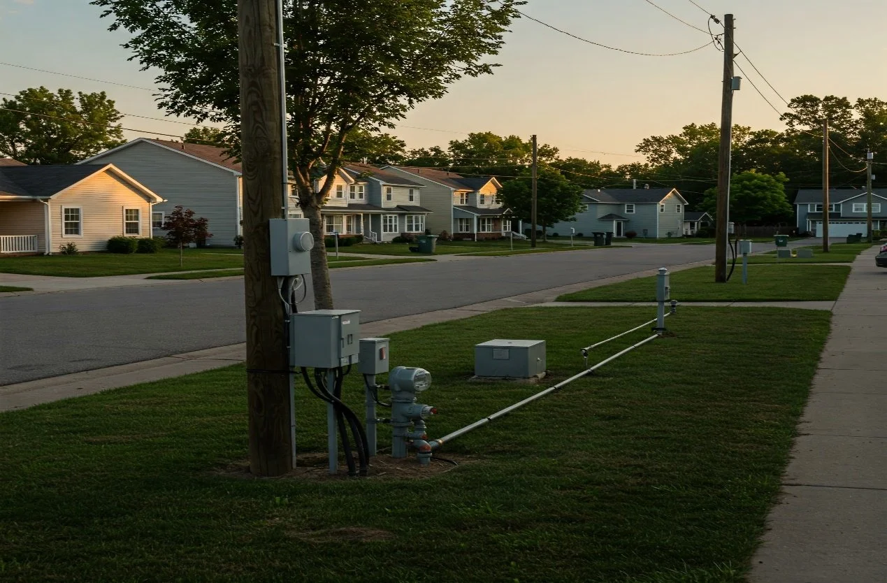
b) Utilities Planning
Utilities are the essential infrastructure needed for the daily functioning of a subdivision. These include water supply, wastewater management, stormwater drainage, electricity, natural gas, and telecommunications. Proper utility planning ensures that these services are efficiently distributed across all lots within the subdivision, meeting both current and future demands as the community grows.
During the planning process, engineers consider factors such as water pressure requirements, sewer capacity, stormwater runoff management, and access to electrical and communication networks. Strategic placement of water mains, sewer lines, utility easements, and underground conduits ensures reliability and minimizes conflicts with roads, sidewalks, and other site features. Forward-thinking planning also accounts for potential upgrades or expansions, preventing costly modifications as the community develops.
5. STORMWATER MANAGEMENT

Stormwater management is a process that involves controlling the stormwater runoff from impervious surfaces like parking lots, driveways, and rooftops. Stormwater management in subdivision planning involves the detailed design of the various systems needed to take care of flooding risks, rainwater, etc.
Stormwater management is a critical component of subdivision planning, ensuring that runoff is effectively controlled to prevent flooding, erosion, and water quality degradation. A well-designed stormwater system considers topography, soil conditions, and the water table level to determine the most effective drainage solutions. In areas with a high water table, traditional infiltration methods may be limited, requiring alternative solutions such as raised detention ponds or underground drainage systems.
Two common stormwater management features are retention and detention ponds. Retention ponds (or wet ponds) hold water permanently, allowing for natural infiltration and improving water quality, while detention ponds (or dry ponds) temporarily store runoff and slowly release it to reduce peak flow rates. A general rule of thumb for pond sizing is about 5-10% of the total drainage area, though this varies based on local regulations and site conditions.
In more urbanized or space-constrained developments, underground drainage systems, including perforated pipes, culverts, and underground detention chambers, help manage stormwater while maximizing land use. These systems allow for efficient water conveyance and controlled release, preventing downstream flooding and ensuring compliance with stormwater regulations.
6.TRANSPORTATION AND ACCESSIBILITY

A well-planned ingress and egress system is essential for ensuring smooth traffic flow, safety, and emergency access in a subdivision. The number and placement of entry and exit points should be carefully considered to minimize congestion and comply with local regulations. Fire department guidelines typically require multiple access points based on the number of lots, with subdivisions exceeding a certain threshold (often 30 to 50 lots, depending on jurisdiction) needing at least two exits for emergency access.
To facilitate efficient vehicle movement, turn lane requirements are often mandated at subdivision entrances to prevent traffic backups on main roads. This may include dedicated left-turn lanes, right-turn deceleration lanes, and acceleration lanes where necessary. Additionally, right-of-way improvements such as widening roads, adding sidewalks, installing street lighting, and improving sight distances at intersections may be required to enhance overall safety and accessibility. These upgrades ensure that the subdivision integrates seamlessly with the surrounding transportation network while meeting both local and state roadway standards.
Looking for engineering services for your subdivision? Send us an email on info@jpconsortium.com and we'll schedule an appointment to assess your project.